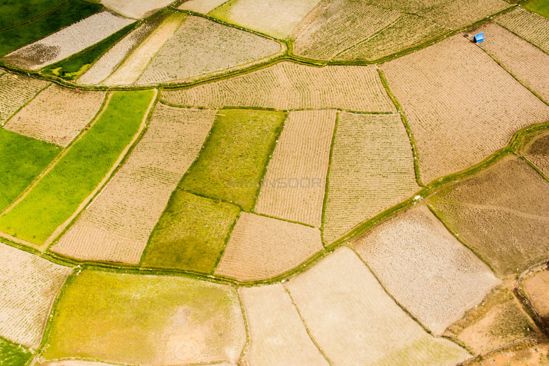
Aerial view of bhutanese farming land
Description
Aerial view of bhutanese farming land just near the only international airport at Paro (PBH). Its located at about 2km above the sea-level.
Details
3000 x 2000px
Formats
Digital Download
Printed Product
Buy
From $10.64